River MapBooks in
Yukon Territory
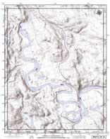
Yukon River MapBook
Part 1: Whitehorse to
Carmacks
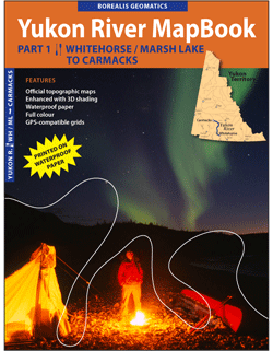
One of Yukon's most popular canoe routes, travel from Whitehorse to Carmacks along the river without the need to fumble with over-sized topographic maps. Fits the equivalent of approximately 20 topographic maps (which would cost well over $200!) into one 8.5"x11.5" waterproof document.
24 PAGES.
Click for other purchasing options
-- BACK TO YUKON MAP --
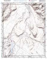
Yukon River MapBook
Part 2: Carmacks to Dawson
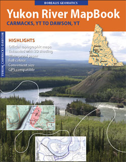
"Part 2" of Yukon's most popular canoe route, you can now travel from Carmacks to Dawson along the river without the need to fumble with over-sized topographic maps. Fits the equivalent of 34 NTS topographic maps
(which alone would cost well over $400!)
into one 28-page 8.5"x11.5" waterproof document.
28 PAGES.
Click for other purchasing options.
-- BACK TO YUKON MAP --
Big Salmon River MapBook:
Quiet Lake to Carmacks
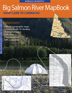
Another immensely popular Yukon canoe route
beginning at Quiet Lake, south-east of Whitehorse, and ending in Carmacks.
Map is still in DRAFT form, but can
be made available by special arrangement.
Please email if you are interested.
Sugg. retail - CAD$TBA